How Terrestrial and Aerial LiDAR Data Can Help Reduce Risk of Damaging Floods
USA, July 20, 2023/EINPresswire.com/ -- The Suburban news reported Montreal was hit with a severe thunderstorm on Thursday, 7/13/2023 that caused flash flooding and power outages throughout the city. The storm saw 38.2mm of rain fall at the airport, leaving many in disarray as homes and roads were inundated with water. In response to this event, DCMS Network is highlighting the importance of surface deviation analysis using LiDAR scanning in order to prevent further potential hazards from similar storms.
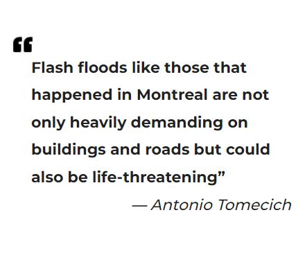 According to Antonio Tomecich, Partner with DCMS Network: “Flash floods like those that happened in Montreal are not only heavily demanding on buildings and roads but could also be life-threatening, with terrestrial or aerial LiDAR scanning we're able to quickly assess many attributes of existing structures”. This underscores how important it is for companies like DCMS Network to remain vigilant about surface deviations as this could mean all the difference between property damage or even worse - harm coming to people who may be affected by flash floods resulting from these deviations.
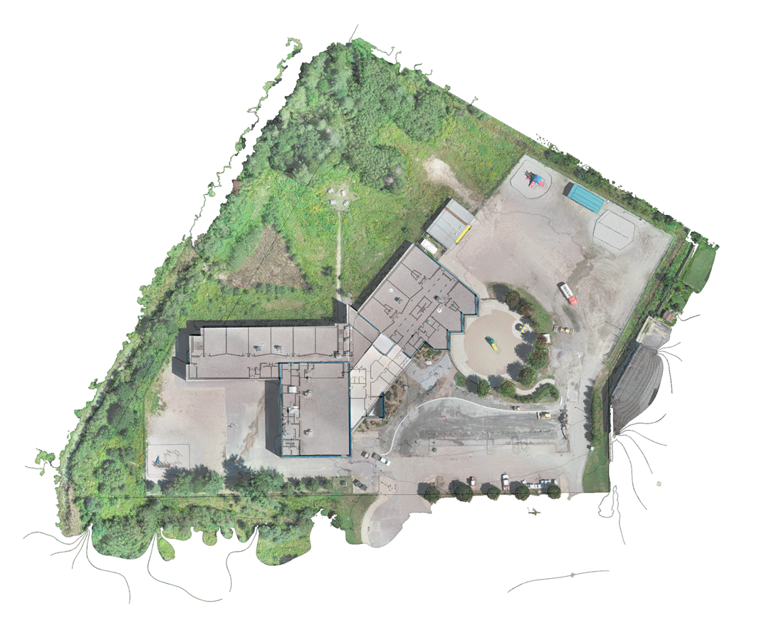
Performing terrestrial or aerial LIDAR scanning is an important step in surface survey deviation analysis for flood prevention and storm drainage. LIDAR (Light Detection and Ranging) is a method of collecting data about the Earth's surface using lasers that are emitted from a sensor mounted on a flying device. By measuring the time it takes for the laser to travel from the sensor to the ground and back, as well as its intensity, users can build detailed 3D maps of terrain features such as topography, vegetation cover, elevation changes, buildings, and infrastructure networks.
This technology has been used by urban planners and engineers to assess areas prone to flooding and plan drains accordingly. By creating detailed 3D scanning models of terrain before construction begins, it is possible to determine where runoff might occur due to changes in elevation levels. This information can then be used to design systems that are effective at diverting runoff away from sensitive areas to reduce risk of flooding or other water damage. This type of analysis also helps with storm drainage projects by identifying areas where ditches can be dug or natural channels formed in order to ensure efficient removal of water from affected areas.
In addition, since LIDAR is able to detect small changes in elevation over large areas it can be used for detecting slips in existing drainage infrastructure more quickly than traditional survey methods. For instance, if there has been a significant change in elevation along a previously surveyed channel due to erosion this would be easily identified using LIDAR data when analyzing deviation from the original measurements taken during survey work.
Overall, performing terrestrial or aerial LiDAR scanning is an invaluable tool for surface survey deviation analysis when it comes to flood prevention and storm drainage projects. With its ability to quickly generate 3D maps of terrain features it makes designing efficient water management strategies easier than ever before while also providing real-time feedback on any changes occurring due to environmental factors such as erosion or landslides.
It is clear that flash floods can be highly damaging both economically and emotionally, as it can cause immense damage to property and cost lives if proper precautionary measures aren’t taken soon enough. By utilizing a state-of-the-art system like LiDAR scanning offered by DCMS Network, building owners can be proactive in preventing future disasters associated with flash flooding from occurring.
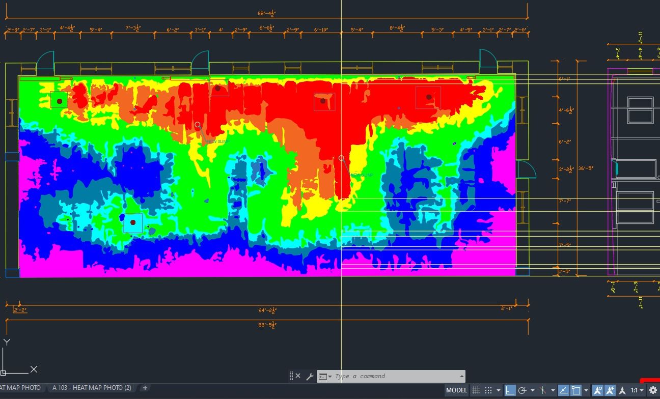
Surface Deviation Analysis
Aerial Scan
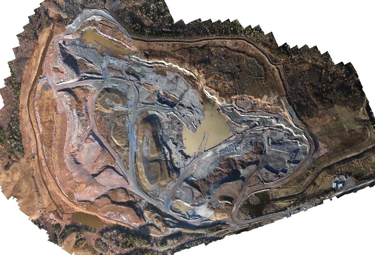
Drone Image
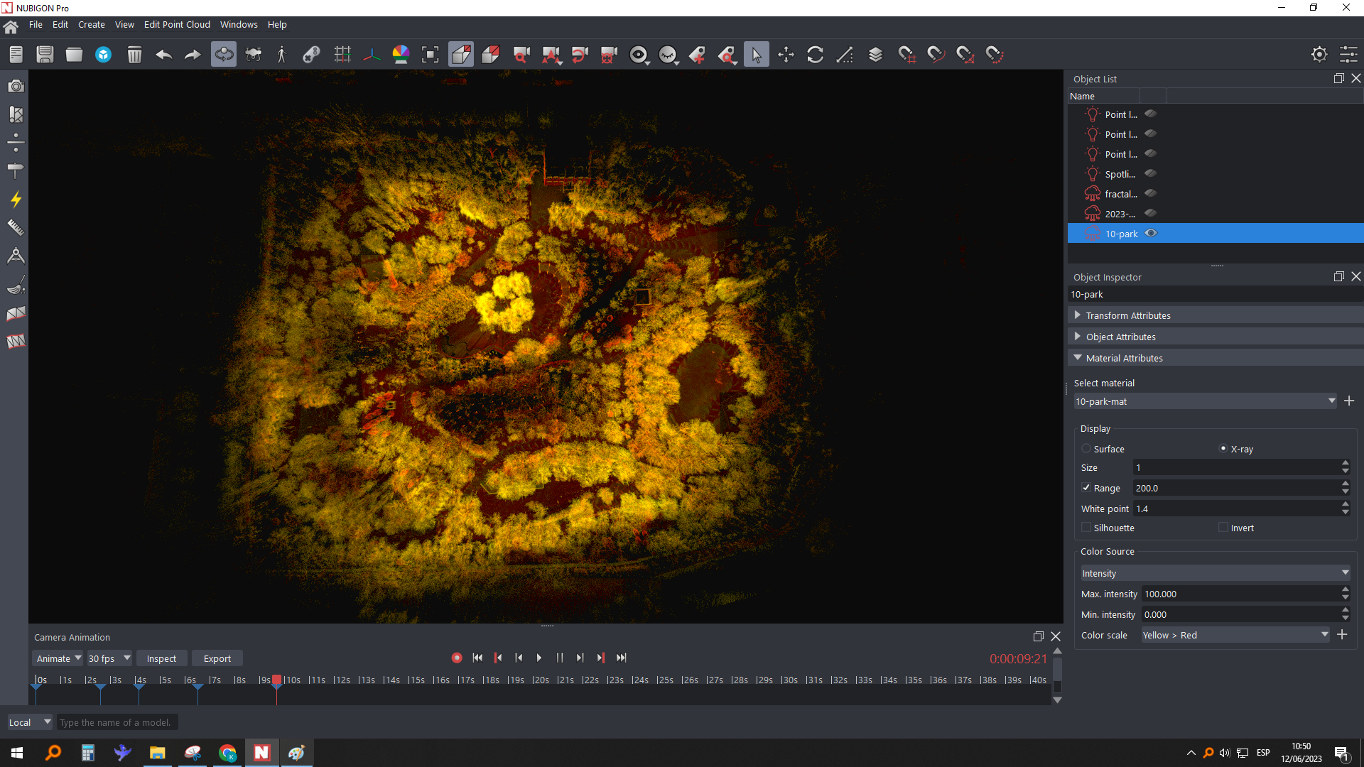
Scan Image
3D Scan Image
TrendForce 2023 Infrared Sensing Application Market and Branding Strategies
Release: 01 January 2023
Format: PDF
Language: Traditional Chinese / English
Page: 164
If you would like to know more details , please contact:
 According to Antonio Tomecich, Partner with DCMS Network: “Flash floods like those that happened in Montreal are not only heavily demanding on buildings and roads but could also be life-threatening, with terrestrial or aerial LiDAR scanning we're able to quickly assess many attributes of existing structures”. This underscores how important it is for companies like DCMS Network to remain vigilant about surface deviations as this could mean all the difference between property damage or even worse - harm coming to people who may be affected by flash floods resulting from these deviations.