 2024-09-13
Hawke’s Bay Regional Council (HBRC), in collaboration with researchers from Manaaki Whenua, have completed a pioneering project using LiDAR (Light Detection and Ranging) technology to gain a deeper understanding of the region's landscape.
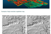
This project uses LiDAR to create high-resolution maps detailing land and vegetation across the region, providing an unprecedented level of detail on the region’s topography.
The newly developed digital elevation models (DEMs) enhance the accuracy of assessments for erosion, sediment loads in rivers, and overa...
Continue reading →
 2024-09-13